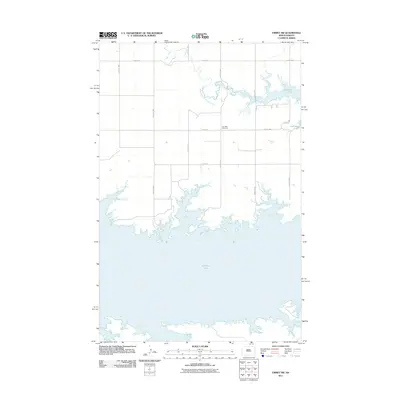
2011 Map of Emmet SW
USGS Topo · Published 2011About this map
Audubon Lake dominates the southern half of this landscape, its intricate, branching shoreline defining the geography of McLean County. North of the water, a rigid grid of rural roads, including 14th St NW and 54th Ave NW, carves the prairie into large agricultural blocks. This intersection of natural water systems and human-imposed geometry is most evident where West Branch Douglas Creek feeds into the lake's northern reaches. The area's local history is anchored by the Lilly Dale Cemetery, situated centrally among the fields. This location provides a clear view of the late 20th and early 21st-century land management patterns on the Missouri Plateau, where infrastructure like 12th St NW serves the dispersed farmsteads of the North Dakota interior.
Find a feature on this map
12 named features on this map. Tap any name to fly to it.
Don’t see what you’re looking for? This feature index may not catch every label — zoom into the map to look around manually.
Map Details
Editions of this 2011 Emmet SW Map
This is the sole edition of this map. No revisions or reprints were ever made.
Other maps of this area
1954 · McClusky
USGS Topo · 1:250,000
1956 · Emmet NE
USGS Topo · 1:24,000
1956 · Blackwater Lake
USGS Topo · 1:24,000
1956 · Emmet
USGS Topo · 1:24,000
1958 · McClusky
USGS Topo · 1:250,000
1967 · Emmet SE
USGS Topo · 1:24,000
1967 · Blackwater Lake SE
USGS Topo · 1:24,000
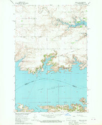
1967 · Emmet SW
USGS Topo · 1:24,000
1969 · Hazen NE
USGS Topo · 1:24,000
1969 · Beulah NE
USGS Topo · 1:24,000