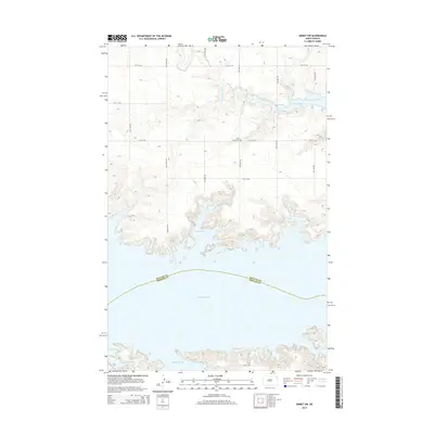
2014 Map of Emmet SW
USGS Topo · Published 2014About this map
Lake Sakakawea dominates the southern landscape of this Missouri River region, where the reservoir waters reach deep into the Missouri Plateau. This 2014 representation shows the complex shoreline created by the flooding of the valley, forming prominent features such as Berthold Bay, Expansion Bay, and Beulah Bay. Inland, the terrain is defined by a rigorous grid of section roads like 53rd Ave NW and 12th St NW that serve the rural uplands. Genealogists may find interest in the settlement of Lilly and the nearby Dale Cem, located near the headwaters of the West Branch Douglas Creek. The map also captures the administrative boundary between McLean Co and Mercer Co as it cuts across the center of the lake.
Find a feature on this map
20 named features on this map. Tap any name to fly to it.
Don’t see what you’re looking for? This feature index may not catch every label — zoom into the map to look around manually.
Map Details
Editions of this 2014 Emmet SW Map
This is the sole edition of this map. No revisions or reprints were ever made.
Other maps of this area

1954 · McClusky
USGS Topo · 1:250,000

1956 · Emmet NE
USGS Topo · 1:24,000

1956 · Blackwater Lake
USGS Topo · 1:24,000

1956 · Emmet
USGS Topo · 1:24,000

1958 · McClusky
USGS Topo · 1:250,000

1967 · Emmet SE
USGS Topo · 1:24,000

1967 · Blackwater Lake SE
USGS Topo · 1:24,000

1967 · Emmet SW
USGS Topo · 1:24,000

1969 · Hazen NE
USGS Topo · 1:24,000

1969 · Beulah NE
USGS Topo · 1:24,000