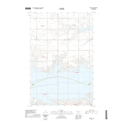
2020 Map of Emmet SW
USGS Topo · Published 2020About this map
Lake Sakakawea dominates this landscape, covering a wide stretch of the Missouri River valley at the boundary of McLean and Mercer Counties. The reservoir’s intricate shoreline forms distinct inlets such as Berthold Bay and Douglas Creek Bay, where the West-Branch Douglas Creek meets the rising waters. Inland, the high plains are organized by a rigid section-line road grid, including Co Hwy 9 and several numbered streets. This network serves the agricultural upland and small local landmarks like Lilly Dale Cem, which remains a quiet historical anchor above the northern shore. The geography illustrates the massive scale of 20th-century water management on the Missouri, showing how the dammed river has reshaped the traditional township and range survey lines of the Dakotas.
Find a feature on this map
23 named features on this map. Tap any name to fly to it.
Don’t see what you’re looking for? This feature index may not catch every label — zoom into the map to look around manually.
Map Details
Editions of this 2020 Emmet SW Map
This is the sole edition of this map. No revisions or reprints were ever made.
Other maps of this area

1954 · McClusky
USGS Topo · 1:250,000

1956 · Emmet NE
USGS Topo · 1:24,000

1956 · Blackwater Lake
USGS Topo · 1:24,000

1956 · Emmet
USGS Topo · 1:24,000

1958 · McClusky
USGS Topo · 1:250,000

1967 · Emmet SE
USGS Topo · 1:24,000

1967 · Blackwater Lake SE
USGS Topo · 1:24,000

1967 · Emmet SW
USGS Topo · 1:24,000

1969 · Hazen NE
USGS Topo · 1:24,000

1969 · Beulah NE
USGS Topo · 1:24,000