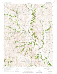
1964 Map of Emmett
USGS Topo · Published 1965About this map
Emmett stands as a central hub in this mid-1960s landscape, positioned where the Union Pacific railroad corridor meets the winding path of Cross Creek. The map documents a predominantly agrarian environment across northern Pottawatomie County, characterized by a detailed network of section lines and township divisions including St Clere, Adrian, and Washington. Local community life is anchored by several rural landmarks, such as the St Clere Ch and Mt Olive Ch, alongside the St Clere Cem and Holy Cross Cem.
Find a feature on this map
25 named features on this map. Tap any name to fly to it.
Don’t see what you’re looking for? This feature index may not catch every label — zoom into the map to look around manually.
Map Details
Editions of this 1964 Emmett Map
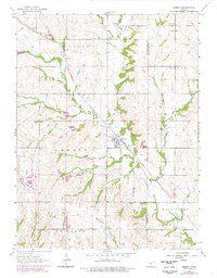
2 editions found
Other maps of this area

1889 · Wamego
USGS Topo · 1:125,000

1889 · Topeka
USGS Topo · 1:125,000

1894 · Topeka
USGS Topo · 1:125,000

1894 · Wamego
USGS Topo · 1:125,000

1950 · Kansas City
USGS Topo · 1:250,000

1952 · Rossville
USGS Topo · 1:24,000

1953 · Belvue
USGS Topo · 1:24,000

1953 · St Marys
USGS Topo · 1:24,000

1954 · Kansas City
USGS Topo · 1:250,000

1955 · Manhattan
USGS Topo · 1:250,000