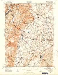
1943 Map of Emmitsburg
USGS Topo · Published 1954About this map
South Mountain dominates the western landscape of this 1943 survey, where the rugged terrain of the Blue Ridge meets the fertile valleys of Frederick County. The map documents a significant intersection of religious and educational history at Emmitsburg, featuring the sprawling grounds of Mount St Marys College and St Josephs Academy. Along the foot of the mountains, the industrial legacy of the region is anchored by the historic Catoctin Furnace, while the peaks above are marked by military and recreational sites like Camp Ritchie and numerous camps including Camp Airy.
Find a feature on this map
127 named features on this map. Tap any name to fly to it.
Don’t see what you’re looking for? This feature index may not catch every label — zoom into the map to look around manually.
Map Details
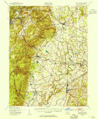
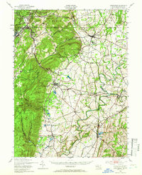
Editions of this 1943 Emmitsburg Map
4 editions found

Other maps of this area

1884 · Harpers Ferry
USGS Topo · 1:125,000

1891 · Harpers Ferry
USGS Topo · 1:125,000

1893 · Frederick
USGS Topo · 1:125,000

1893 · Harpers Ferry
USGS Topo · 1:125,000

1894 · Frederick
USGS Topo · 1:125,000

1902 · Chambersburg
USGS Topo · 1:62,500

1908 · Middletown
USGS Topo · 1:48,000

1908 · Gettysburg
USGS Topo · 1:62,500

1908 · Ijamsville
USGS Topo · 1:62,500

1909 · Mount Airy
USGS Topo · 1:62,500