
1943 Map of Emmitsburg
USGS Topo · Published 1943About this map
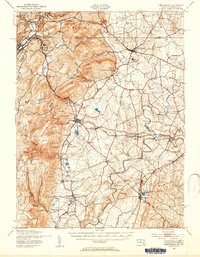
The Catoctin Mountain range dominates the western portion of this 1943 survey, creating a physical barrier between the Frederick Valley and the higher elevations of the Blue Ridge. Along this ridge line, the border between Maryland and Pennsylvania is clearly marked, separating communities like Blue Ridge Summit and Monterey from the lowlands. The central and eastern landscape is defined by the winding Monocacy River and its many tributaries, including Toms Creek and Owens Creek, which powered early industry at sites like Hoovers Mill and Eicholtz Mill.
Find a feature on this map
88 named features on this map. Tap any name to fly to it.
Don’t see what you’re looking for? This feature index may not catch every label — zoom into the map to look around manually.
Map Details
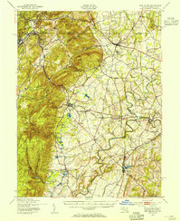
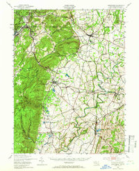
Editions of this 1943 Emmitsburg Map
4 editions found
Other maps of this area

1884 · Harpers Ferry
USGS Topo · 1:125,000

1891 · Harpers Ferry
USGS Topo · 1:125,000

1893 · Frederick
USGS Topo · 1:125,000

1893 · Harpers Ferry
USGS Topo · 1:125,000

1894 · Frederick
USGS Topo · 1:125,000

1902 · Chambersburg
USGS Topo · 1:62,500

1908 · Middletown
USGS Topo · 1:48,000

1908 · Gettysburg
USGS Topo · 1:62,500

1908 · Ijamsville
USGS Topo · 1:62,500

1909 · Mount Airy
USGS Topo · 1:62,500