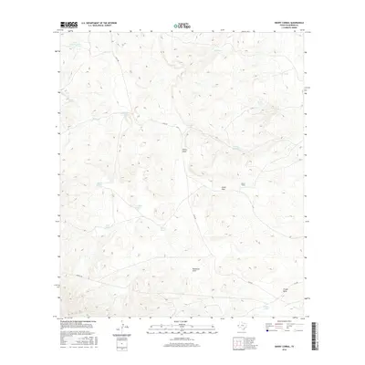
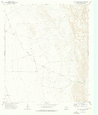
2016 Map of Emory Corral
USGS Topo · Published 2016About this map
Emory Corral anchors this high-desert landscape in Culberson County, marking a site of livestock management in an arid environment defined by its drainage patterns. The terrain is dominated by significant ephemeral watercourses, most notably Emory Draw and the curiously named Budweiser Draw, which funnel seasonal runoff across the territory. A network of ranch roads, including Chico Rd and Roberto Rd, connects various water improvements essential for cattle ranching in the Trans-Pecos.
Find a feature on this map
21 named features on this map. Tap any name to fly to it.
Don’t see what you’re looking for? This feature index may not catch every label — zoom into the map to look around manually.
Map Details
Editions of this 2016 Emory Corral Map
This is the sole edition of this map. No revisions or reprints were ever made.
Other maps of this area
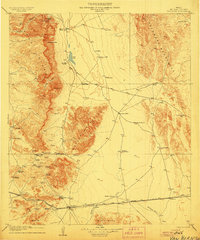
1906 · Van Horn
USGS Topo · 1:125,000
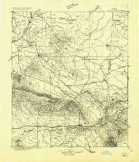
1928 · Kent
USGS Topo · 1:125,000

1954 · Van Horn
USGS Topo · 1:250,000

1958 · Van Horn
USGS Topo · 1:250,000
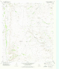
1973 · Seven L Peak
USGS Topo · 1:24,000
1973 · K C Ranch
USGS Topo · 1:24,000
1973 · Chico Draw East
USGS Topo · 1:24,000
1973 · Delaware Ranch
USGS Topo · 1:24,000
1973 · Burro Canyon
USGS Topo · 1:24,000
1973 · Seven Heart Gap NW
USGS Topo · 1:24,000