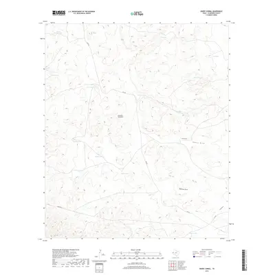
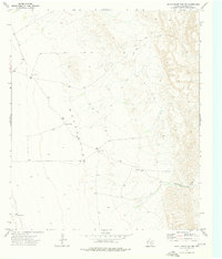
2019 Map of Emory Corral
USGS Topo · Published 2019About this map
The Delaware Mountains define this high-desert landscape in northern Culberson County, where water management is the primary driver of the map's nomenclature. The arid terrain is crisscrossed by vital drainage features such as Emory Draw, Budweiser Draw, and Frijole Draw. These natural washes are complemented by a dense network of man-made tanks, including Barstow Tank, Antelope Tank, and Sifford Tank, which serve as critical infrastructure for ranching operations in this isolated portion of West Texas. The namesake Emory Corral and thoroughfares like Chico Rd reflect a landscape dedicated to long-standing pastoral use. While the topography is complex, the settlement pattern is sparse, centered on these livestock collection points and water storage sites that sustain life and industry in the Trans-Pecos region.
Find a feature on this map
22 named features on this map. Tap any name to fly to it.
Don’t see what you’re looking for? This feature index may not catch every label — zoom into the map to look around manually.
Map Details
Editions of this 2019 Emory Corral Map
This is the sole edition of this map. No revisions or reprints were ever made.
Other maps of this area
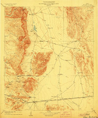
1906 · Van Horn
USGS Topo · 1:125,000
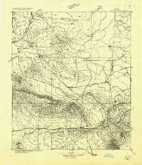
1928 · Kent
USGS Topo · 1:125,000

1954 · Van Horn
USGS Topo · 1:250,000

1958 · Van Horn
USGS Topo · 1:250,000
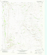
1973 · Seven L Peak
USGS Topo · 1:24,000
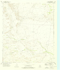
1973 · K C Ranch
USGS Topo · 1:24,000
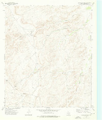
1973 · Chico Draw East
USGS Topo · 1:24,000
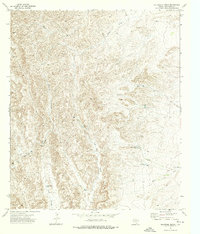
1973 · Delaware Ranch
USGS Topo · 1:24,000
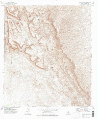
1973 · Burro Canyon
USGS Topo · 1:24,000
1973 · Seven Heart Gap NW
USGS Topo · 1:24,000