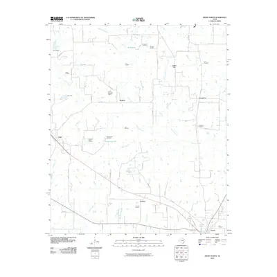
2010 Map of Emory North
USGS Topo · Published 2010About this map
Lake Fork Creek and its many tributaries, including Buckeye Branch and Dement Branch, carve through this section of Rains County. The landscape is dotted with small settlements like Point, Richland, and Prospect, connected by a network of county roads. Genealogists will find a high density of family-named burial sites, such as the Richland-Benton Hill Cemetery and Worcester-Cooper Cemetery, which suggest a long-established rural community structure centered around these small hubs.
Find a feature on this map
77 named features on this map. Tap any name to fly to it.
Don’t see what you’re looking for? This feature index may not catch every label — zoom into the map to look around manually.
Map Details
Editions of this 2010 Emory North Map
This is the sole edition of this map. No revisions or reprints were ever made.
Other maps of this area

1953 · Texarkana
USGS Topo · 1:250,000

1956 · Texarkana
USGS Topo · 1:250,000

1956 · Tyler
USGS Topo · 1:250,000

1956 · Emory
USGS Topo · 1:62,500

1958 · Arbala
USGS Topo · 1:24,000

1958 · Alba
USGS Topo · 1:24,000

1959 · Alba
USGS Topo · 1:62,500

1962 · Lone Oak North
USGS Topo · 1:24,000

1962 · Miller Grove
USGS Topo · 1:24,000

1962 · Brashear
USGS Topo · 1:24,000