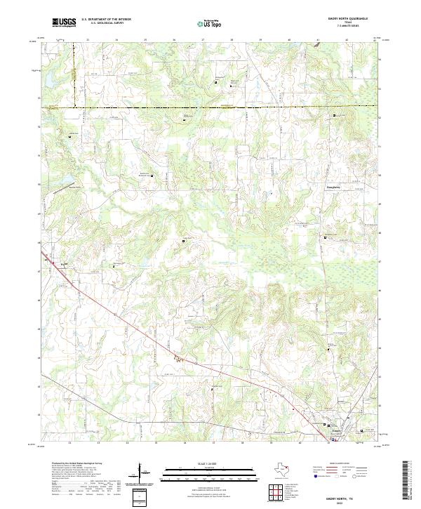
2022 Map of Emory North
USGS Topo · Published 2022About this map
Lake Fork Cr and its many tributaries, including Turkey Cr and Rains Br, dominate this pocket of Northeast Texas where the boundaries of Hunt, Hopkins, and Rains Counties converge. The landscape is a network of small family burial grounds and community landmarks that speak to the deep-rooted settlement patterns of the region. Near the southern edge, the town of Emory serves as a focal point with the Rains County Courthouse Annex and the Emory City Cem.
Find a feature on this map
109 named features on this map. Tap any name to fly to it.
Don’t see what you’re looking for? This feature index may not catch every label — zoom into the map to look around manually.
Map Details
Editions of this 2022 Emory North Map
This is the sole edition of this map. No revisions or reprints were ever made.
Other maps of this area

1953 · Texarkana
USGS Topo · 1:250,000

1956 · Texarkana
USGS Topo · 1:250,000

1956 · Tyler
USGS Topo · 1:250,000

1956 · Emory
USGS Topo · 1:62,500

1958 · Arbala
USGS Topo · 1:24,000

1958 · Alba
USGS Topo · 1:24,000

1959 · Alba
USGS Topo · 1:62,500

1962 · Lone Oak North
USGS Topo · 1:24,000

1962 · Miller Grove
USGS Topo · 1:24,000

1962 · Brashear
USGS Topo · 1:24,000