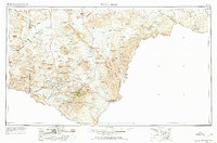
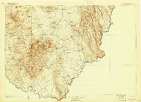
1959 Map of Emory Peak
USGS Topo · Published 1974About this map
Big Bend National Park dominates the southern reaches of this landscape, where the Rio Grande carves a sharp border against Mexico. The 1959 survey records a sparsely populated Trans-Pecos frontier before the full expansion of modern infrastructure, centered on small outposts like Lajitas and Terlingua. The terrain is characterized by massive geological formations such as The Solitario and the Mesa de Anguila, with seasonal water sources like Terlingua Creek and Tornillo Creek providing the only drainage through the desert floor. The map captures a moment when the regional economy was transitioning from ranching and mining toward conservation and tourism. Evidence of this shift is visible in the placement of the Persimmon Gap Ranger Station and Boquillas Ranger Station, alongside established settlements like Study Butte and Castolon.
Find a feature on this map
253 named features on this map. Tap any name to fly to it.
Don’t see what you’re looking for? This feature index may not catch every label — zoom into the map to look around manually.
Map Details
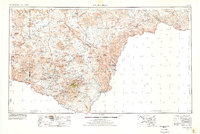
Editions of this 1959 Emory Peak Map
3 editions found

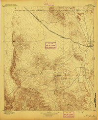
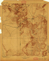
Other maps of this area
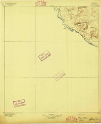
1895 · Marfa
USGS Topo · 1:125,000
1895 · Alpine
USGS Topo · 1:125,000
1896 · Polvo
USGS Topo · 1:125,000
1896 · Shafter
USGS Topo · 1:125,000

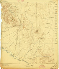
1903 · Chisos Mountains
USGS Topo · 1:125,000
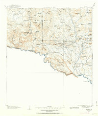
1903 · Terlingua
USGS Topo · 1:125,000
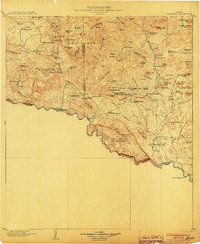
1904 · Terlingua
USGS Topo · 1:125,000
1905 · Chisos Mountains
USGS Topo · 1:125,000

1917 · Agua Fria
USGS Topo · 1:62,500
1917 · Tascotal Mesa
USGS Topo · 1:62,500