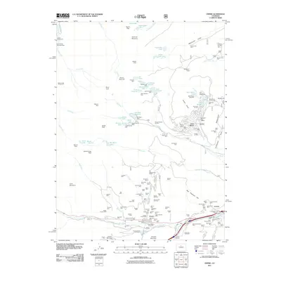
2011 Map of Empire
USGS Topo · Published 2011About this map
The town of Empire sits at the base of Douglas Mountain, serving as a central hub for the heavy mining activity that once defined this corridor of Clear Creek County. The landscape is densely marked by historic mineral extraction, with dozens of named claims including the Belle of Empire Mine, Conqueror Mines, and the Boulder Nest Mine near Lawson. These workings are concentrated along the steep slopes leading up to peaks like James Peak and Mount Eva.
Find a feature on this map
140 named features on this map. Tap any name to fly to it.
Don’t see what you’re looking for? This feature index may not catch every label — zoom into the map to look around manually.
Map Details
Editions of this 2011 Empire Map
This is the sole edition of this map. No revisions or reprints were ever made.
Other maps of this area

1903 · Georgetown
USGS Topo · 1:62,500

1905 · Central City
USGS Topo · 1:62,500

1905 · Georgetown
USGS Topo · 1:62,500

1910 · Central City
USGS Topo · 1:62,500

1912 · Central City
USGS Topo · 1:62,500

1924 · Montezuma
USGS Topo · 1:62,500

1924 · Fraser
USGS Topo · 1:62,500

1926 · Fraser
USGS Topo · 1:62,500

1926 · Montezuma
USGS Topo · 1:62,500

1933 · Montezuma
USGS Topo · 1:62,500