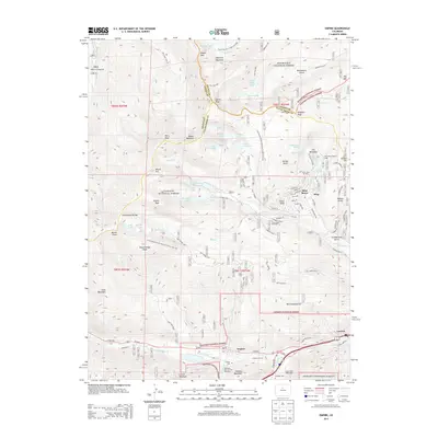
2013 Map of Empire
USGS Topo · Published 2013About this map
High-altitude peaks and specialized alpine landmarks characterize this portion of the Front Range along the Continental Divide. The settlement of Empire sits at the southern base of Douglas Mountain, serving as a gateway to the steep corridors of Clear Creek and the West Fork Clear Creek. To the north, the high-elevation communities of Alice and Saint Marys are situated near the iconic Saint Marys Glacier and the Silver Lake Ski Area, illustrating the region's 21st-century focus on outdoor recreation and seasonal residency.
Find a feature on this map
110 named features on this map. Tap any name to fly to it.
Don’t see what you’re looking for? This feature index may not catch every label — zoom into the map to look around manually.
Map Details
Editions of this 2013 Empire Map
This is the sole edition of this map. No revisions or reprints were ever made.
Other maps of this area

1903 · Georgetown
USGS Topo · 1:62,500

1905 · Central City
USGS Topo · 1:62,500

1905 · Georgetown
USGS Topo · 1:62,500

1910 · Central City
USGS Topo · 1:62,500

1912 · Central City
USGS Topo · 1:62,500

1924 · Montezuma
USGS Topo · 1:62,500

1924 · Fraser
USGS Topo · 1:62,500

1926 · Fraser
USGS Topo · 1:62,500

1926 · Montezuma
USGS Topo · 1:62,500

1933 · Montezuma
USGS Topo · 1:62,500