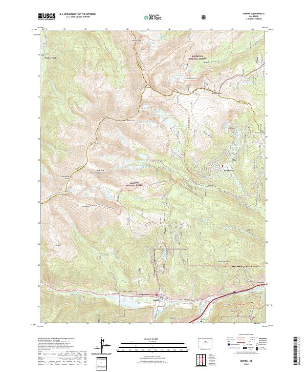
2022 Map of Empire
USGS Topo · Published 2022About this map
High-altitude terrain along the Continental Divide defines this map, where the boundaries of Clear Creek, Grand, and Gilpin counties meet among the peaks of the Front Range. The settlement of Empire sits in the valley of Clear Creek, serving as a historic gateway for travelers and miners moving toward Rogers Pass or the high alpine lakes. To the north, the landscape rises sharply toward James Peak and Parry Peak, a region characterized by glacial cirques holding bodies of water like Loch Lomond and Saint Marys Lake.
Find a feature on this map
93 named features on this map. Tap any name to fly to it.
Don’t see what you’re looking for? This feature index may not catch every label — zoom into the map to look around manually.
Map Details
Editions of this 2022 Empire Map
This is the sole edition of this map. No revisions or reprints were ever made.
Other maps of this area

1903 · Georgetown
USGS Topo · 1:62,500

1905 · Central City
USGS Topo · 1:62,500

1905 · Georgetown
USGS Topo · 1:62,500

1910 · Central City
USGS Topo · 1:62,500

1912 · Central City
USGS Topo · 1:62,500

1924 · Montezuma
USGS Topo · 1:62,500

1924 · Fraser
USGS Topo · 1:62,500

1926 · Fraser
USGS Topo · 1:62,500

1926 · Montezuma
USGS Topo · 1:62,500

1933 · Montezuma
USGS Topo · 1:62,500