2024 Map of Empire
USGS Topo · Published 2024About this map
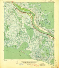
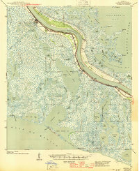
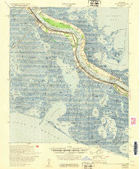
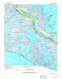
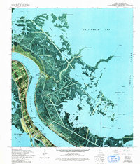
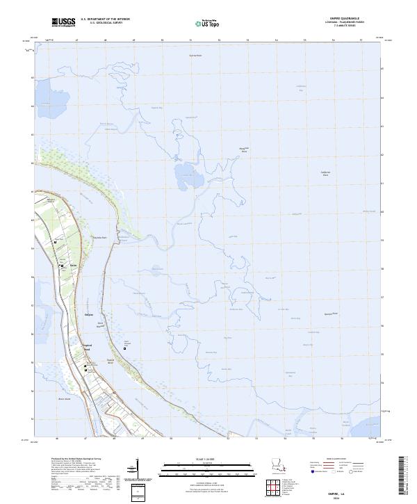
The Mississippi River carves through the heart of Plaquemines Parish in this contemporary portrait of the Louisiana coast, where narrow strips of habitable land are protected by an extensive levee system. Settlements like Empire, Nairn, and Tropical Bend cling to the western bank, anchored by maritime infrastructure and local landmarks such as Matidora Airport. The map is particularly valuable for genealogical research, documenting several burial sites including Nairn Cem, Cannon Cem, and the Mount Zion Memorial Park. East of the main channel, a labyrinth of marshland and water includes Bayou Lamoque, Gasper Bay, and California Bay, illustrating the delicate balance of the delta. Engineering works like the Ballandock Structure and Doullut Canal reveal the ongoing efforts to manage water flow and navigation in this amphibious landscape.
Find a feature on this map
70 named features on this map. Tap any name to fly to it.
Don’t see what you’re looking for? This feature index may not catch every label — zoom into the map to look around manually.
Map Details
Editions of this 2024 Empire Map
This is the sole edition of this map. No revisions or reprints were ever made.
Historical Maps of Nairn Through Time
6 maps found