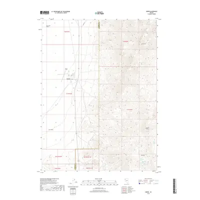
2018 Map of Empire
USGS Topo · Published 2018About this map
The high-desert settlement of Empire sits at the edge of the Black Rock Desert, serving as a gateway to the arid basins of northern Nevada. This survey documents the town's grid, including 4th St, 2nd St, and C St, alongside the small Empire Airport. The geography is sharply divided by the Washoe Co Pershing Co line, which separates the flat playa and the Poito Valley from the steep elevations of the Selenite Range. To the east, Selenite Peak dominates the landscape, looking down over the Texas Basin. This area is marked by a critical network of water sources in an otherwise dry environment, including Texas Basin Spring, Last Chance Spring, and Double Spout Spring. The presence of these named springs suggests the historic importance of water for survival and transport along routes like Jungo Rd.
Find a feature on this map
24 named features on this map. Tap any name to fly to it.
Don’t see what you’re looking for? This feature index may not catch every label — zoom into the map to look around manually.
Map Details
Editions of this 2018 Empire Map
This is the sole edition of this map. No revisions or reprints were ever made.
Other maps of this area

1886 · Granite Range
USGS Topo · 1:250,000

1894 · Granite Range
USGS Topo · 1:250,000

1955 · Lovelock
USGS Topo · 1:250,000

1959 · Lovelock
USGS Topo · 1:250,000
1964 · Gerlach
USGS Topo · 1:62,500
1964 · Kumiva Peak
USGS Topo · 1:62,500
1980 · Dry Mountain NW
USGS Topo · 1:24,000
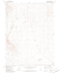
1980 · Tenmile
USGS Topo · 1:24,000
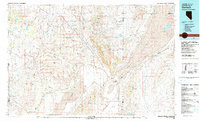
1981 · Gerlach
USGS Topo · 1:100,000
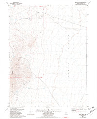
1981 · Betty Creek
USGS Topo · 1:24,000