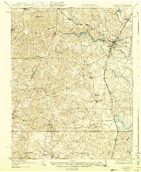
1919 Map of Emporia
USGS Topo · Published 1943About this map
The Meherrin River winds through the heart of Greensville County, providing a natural anchor for the settlement of Emporia and its neighbor, North Emporia. This 1919 survey, published later in 1943, illustrates a rural landscape where commerce was dictated by the intersection of rail and river. Major transit lines including the Atlantic Coast Line and the Southern railroad cut across the terrain, linking remote outposts like Skippers and Pleasant Shade to larger markets.
Find a feature on this map
58 named features on this map. Tap any name to fly to it.
Don’t see what you’re looking for? This feature index may not catch every label — zoom into the map to look around manually.
Map Details
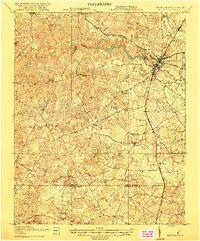
Editions of this 1919 Emporia Map
3 editions found
Other maps of this area

1918 · Lawrenceville
USGS Topo · 1:62,500

1919 · Jarratt
USGS Topo · 1:62,500

1919 · Mc Kenney
USGS Topo · 1:48,000

1919 · White Plains
USGS Topo · 1:48,000

1919 · Emporia
USGS Topo · 1:62,500

1919 · Arringdale
USGS Topo · 1:48,000

1920 · Lawrenceville
USGS Topo · 1:48,000

1920 · White Plains
USGS Topo · 1:62,500

1920 · Arringdale
USGS Topo · 1:62,500

1921 · Mc Kenney
USGS Topo · 1:62,500