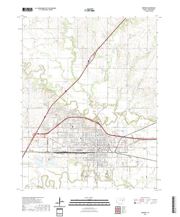
2022 Map of Emporia
USGS Topo · Published 2022About this map
Emporia serves as the focal point of this Kansas landscape, situated at the confluence of the Neosho River and the Cottonwood River. The city's academic and civic heart is well-documented, featuring the extensive grounds of Emporia State University and the Lyon County Courthouse. A network of residential streets like Commercial St and Constitution St radiates from the downtown core, while industrial interests are noted near Emporia Junction and the small settlement of Merrick to the west.
Find a feature on this map
129 named features on this map. Tap any name to fly to it.
Don’t see what you’re looking for? This feature index may not catch every label — zoom into the map to look around manually.
Map Details
Editions of this 2022 Emporia Map
This is the sole edition of this map. No revisions or reprints were ever made.
Other maps of this area

1885 · Eskridge
USGS Topo · 1:125,000

1888 · Emporia
USGS Topo · 1:125,000

1889 · Eskridge
USGS Topo · 1:125,000

1894 · Emporia
USGS Topo · 1:125,000

1894 · Eskridge
USGS Topo · 1:125,000

1955 · Hutchinson
USGS Topo · 1:250,000

1957 · Lang
USGS Topo · 1:24,000

1957 · Emporia
USGS Topo · 1:24,000

1957 · Plymouth
USGS Topo · 1:24,000

1959 · Hutchinson
USGS Topo · 1:250,000