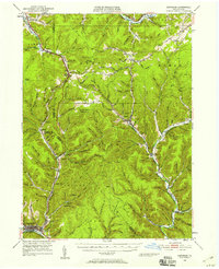
1948 Map of Emporium
USGS Topo · Published 1958About this map
The Allegheny River headwaters and the deeply incised valleys of the Pennsylvania High Plateau define this 1940s landscape. From the confluence of the Allegheny Portage Creek and Portage Creek at Emporium, the map traces the narrow corridors of settlement and transit that follow the water through Shippen and Portage townships. The topography is marked by numerous family-named hollows and runs, such as Gleason Hollow and Healey Hollow, which illustrate the region's isolated rural character.
Find a feature on this map
122 named features on this map. Tap any name to fly to it.
Don’t see what you’re looking for? This feature index may not catch every label — zoom into the map to look around manually.
Map Details
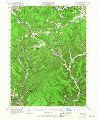
Editions of this 1948 Emporium Map

Other maps of this area

1932 · Genesee
USGS Topo · 1:62,500

1933 · Smethport
USGS Topo · 1:62,500

1934 · Coudersport
USGS Topo · 1:48,000

1937 · Genesee
USGS Topo · 1:62,500

1937 · Smethport
USGS Topo · 1:62,500

1938 · Coudersport
USGS Topo · 1:62,500

1941 · Benezette
USGS Topo · 1:62,500

1943 · Benezette
USGS Topo · 1:62,500

1945 · Driftwood
USGS Topo · 1:48,000

1945 · First Fork
USGS Topo · 1:24,000