Loading...
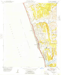
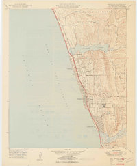
Loading map...1949 Map of Encinitas
USGS Topo · Published 1949About this map
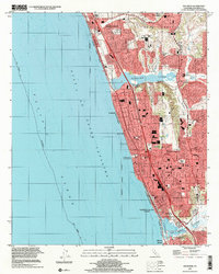
The coastal communities of San Diego County are captured here just after the war, showing a landscape defined by the Coast Highway and the Atchison Topeka and Santa Fe railroad line running parallel to the Gulf of Santa Catalina. Settlements like Leucadia, Encinitas, and Cardiff-by-the-Sea are concentrated along this narrow transportation corridor, bordered by the dramatic coastal lagoons of Batiquitos Lagoon and San Elijo Lagoon.
Find a feature on this map
19 named features on this map. Tap any name to fly to it.
Don’t see what you’re looking for? This feature index may not catch every label — zoom into the map to look around manually.
Map Details
Date Portrayed1949
Date Published1949
PublisherU.S. Geological Survey
Map TypeTopographic
Scale1:24,000
Physical Dimensions22 x 26.7 inches
Editions of this 1949 Encinitas Map
2 editions found
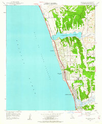
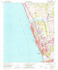
Historical Maps of Carlsbad Through Time
8 maps found

Featured Locations
Source Details
SourceU.S. Geological Survey
CopyrightPublic Domain