
1978 Map of Encino Draw
USGS Topo · Published 1978About this map
Bullis Flat and the surrounding drainage network of western Chaves County define this landscape of the late 1970s. The area is characterized by an intricate system of ephemeral watercourses, including Fourmile Draw, Horse Draw, and the titular Encino Draw, which carve through the high plains terrain. Human presence is marked by the ranching and resource infrastructure of the era, visible through numerous water catchments like New Tank and Holt Tank, as well as a prominent industrial Pipeline cutting across the southern half of the quadrangle. Several remote Landing Strips and a solitary Drill Hole suggest a region shaped by both aerial access and subsurface exploration. The topography is dominated by local heights such as Hall Peak, which overlooks the complex series of canyons and draws that direct the occasional flow of water through this arid environment.
Find a feature on this map
19 named features on this map. Tap any name to fly to it.
Don’t see what you’re looking for? This feature index may not catch every label — zoom into the map to look around manually.
Map Details
Editions of this 1978 Encino Draw Map
This is the sole edition of this map. No revisions or reprints were ever made.
Other maps of this area

1954 · Carlsbad
USGS Topo · 1:250,000

1958 · Carlsbad
USGS Topo · 1:250,000

1960 · Teel Ranch
USGS Topo · 1:62,500

1962 · Dunken
USGS Topo · 1:62,500

1965 · Lewis Peak NE
USGS Topo · 1:24,000

1965 · Bullis Spring Ranch
USGS Topo · 1:24,000

1978 · Strychnine Draw
USGS Topo · 1:24,000

1978 · Artesia
USGS Topo · 1:100,000
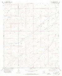
1978 · Holt Tank
USGS Topo · 1:24,000
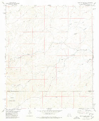
1978 · South Taylor Tank
USGS Topo · 1:24,000