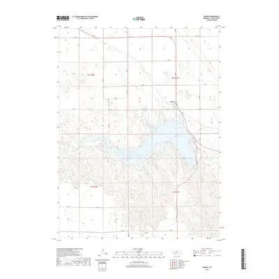
2017 Map of Enders
USGS Topo · Published 2017About this map
Enders Reservoir dominates the landscape of southern Chase County, created by the impoundment of Frenchman Cr. The small community of Enders sits on the northern shore of the water, centered around a Po and the junction of local routes like Old Hwy 6. The surrounding terrain is defined by the high plains of Southwest Nebraska, where the land transitions from the flat tablelands of the north into the dissected drainage patterns feeding the reservoir. The grid of section lines and rural roads, such as 736 Rd and 728 Rd, illustrates the agricultural framework of the region, while the reservoir serves as a critical water resource and local landmark in an otherwise arid landscape.
Find a feature on this map
19 named features on this map. Tap any name to fly to it.
Don’t see what you’re looking for? This feature index may not catch every label — zoom into the map to look around manually.
Map Details
Editions of this 2017 Enders Map
This is the sole edition of this map. No revisions or reprints were ever made.
Other maps of this area

1954 · McCook
USGS Topo · 1:250,000

1957 · McCook
USGS Topo · 1:250,000

1958 · McCook
USGS Topo · 1:250,000
1973 · Champion
USGS Topo · 1:24,000
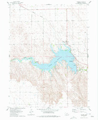
1973 · Enders
USGS Topo · 1:24,000
1973 · Champion SW
USGS Topo · 1:24,000
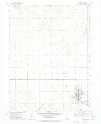
1973 · Imperial
USGS Topo · 1:24,000
1973 · Ough
USGS Topo · 1:24,000
1973 · Wauneta SW
USGS Topo · 1:24,000
1973 · Imperial Municipal Airport
USGS Topo · 1:24,000