2021 Map of Enders
USGS Topo · Published 2021About this map
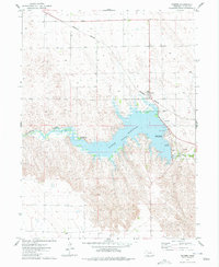
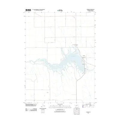
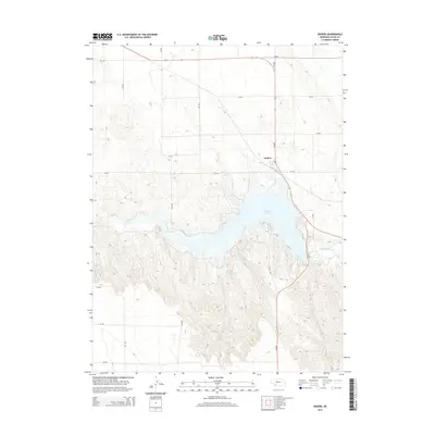
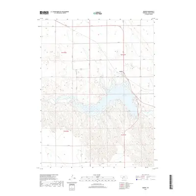
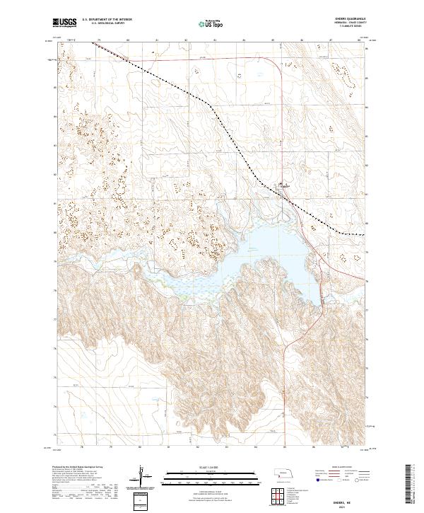
Enders Reservoir dominates the central landscape of Chase County, where the waters of Frenchman Cr are impounded within a valley of complex topographic relief. The settlement of Enders is positioned at the northern edge of this basin, anchored by Pioneer St and the historic corridor of Old Hwy 6. The surrounding terrain is defined by a rigorous grid of section-line roads, including 334 Ave and 736 Rd, which traverse the undulating hills above the reservoir. This 2021 survey illustrates the modern configuration of the Nebraska high plains, where high-altitude drainage patterns meet a strictly organized agricultural and recreational land-use system.
Find a feature on this map
28 named features on this map. Tap any name to fly to it.
Don’t see what you’re looking for? This feature index may not catch every label — zoom into the map to look around manually.
Map Details
Editions of this 2021 Enders Map
This is the sole edition of this map. No revisions or reprints were ever made.
Historical Maps of Enders Through Time
5 maps found