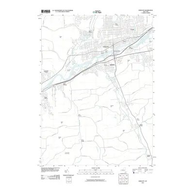
2010 Map of Endicott
USGS Topo · Published 2010About this map
The Susquehanna River serves as the central artery for this region, winding past the industrial and residential hubs of Endicott and Vestal. The landscape is a mix of dense suburban development and high-relief terrain, with Thomas J Watson Memorial Bridge connecting the north and south banks. To the south, the terrain rises into several named peaks including Baker Hill and Bolles Hill, while the Tracy Creek State Forest preserves a large tract of wooded land near the Tracy Creek drainage.
Find a feature on this map
78 named features on this map. Tap any name to fly to it.
Don’t see what you’re looking for? This feature index may not catch every label — zoom into the map to look around manually.
Map Details
Editions of this 2010 Endicott Map
This is the sole edition of this map. No revisions or reprints were ever made.
Other maps of this area

1901 · Apalachin
USGS Topo · 1:62,500

1904 · Binghamton
USGS Topo · 1:62,500

1904 · Apalachin
USGS Topo · 1:62,500

1906 · Catatonk
USGS Topo · 1:125,000

1934 · Castle Creek
USGS Topo · 1:24,000

1935 · Binghamton West
USGS Topo · 1:24,000

1942 · Binghamton West
USGS Topo · 1:31,680

1942 · Castle Creek
USGS Topo · 1:31,680

1943 · Montrose
USGS Topo · 1:62,500

1943 · Le Raysville
USGS Topo · 1:62,500