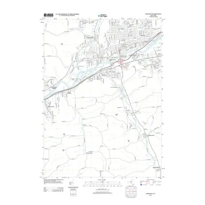
2013 Map of Endicott
USGS Topo · Published 2013About this map
The Susquehanna River carves through this landscape, bridged by the Thomas J Watson Memorial Bridge and the Susquehanna River Bridge. Settlement patterns here reflect a mix of established neighborhoods and elevated rural tracts. Dense residential areas like Endwell and West Corners occupy the northern flatlands, while southern elevations such as Grippen Hill and West Hill maintain a more dispersed character. Local history is anchored by several burial grounds, including Saint Marys Cem and Riverhurst Cem, while the Tri-Cities Airport serves as a modern transportation hub. Along the southern creeks, smaller communities like Tracy Creek and Vestal Center sit near their namesake waters, Tracy Cr and Choconut Cr, marking the transition from the river valley to the higher terrain of Bolles Hill and Pierce Hill.
Find a feature on this map
39 named features on this map. Tap any name to fly to it.
Don’t see what you’re looking for? This feature index may not catch every label — zoom into the map to look around manually.
Map Details
Editions of this 2013 Endicott Map
This is the sole edition of this map. No revisions or reprints were ever made.
Other maps of this area

1901 · Apalachin
USGS Topo · 1:62,500

1904 · Binghamton
USGS Topo · 1:62,500

1904 · Apalachin
USGS Topo · 1:62,500

1906 · Catatonk
USGS Topo · 1:125,000

1934 · Castle Creek
USGS Topo · 1:24,000

1935 · Binghamton West
USGS Topo · 1:24,000

1942 · Binghamton West
USGS Topo · 1:31,680

1942 · Castle Creek
USGS Topo · 1:31,680

1943 · Montrose
USGS Topo · 1:62,500

1943 · Le Raysville
USGS Topo · 1:62,500