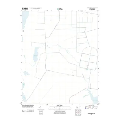
2011 Map of Engelhard NW
USGS Topo · Published 2011About this map
The waters of Pamlico Sound meet the coastal marshes of Dare County in this landscape defined by intricate drainage networks and isolated access roads. The northeast corner of the map is dominated by the Alligator River and the prominent Poplar Ridge Point, while the southern reaches are shaped by the winding course of the Long Shoal River and Cumberland Creek. This coastal area is characterized by significant natural water bodies, including the expansive Whipping Creek Lake and Swan Creek Lake. A sparse but deliberate network of corridors like Dry Ridge North Rd and Whipping Creek Rd provide the primary human transit through this terrain. To the east, specialized infrastructure appears near the sound, including Airforce Lead Rd, reflecting the intersection of local geography and tactical coastal access.
Find a feature on this map
19 named features on this map. Tap any name to fly to it.
Don’t see what you’re looking for? This feature index may not catch every label — zoom into the map to look around manually.
Map Details
Editions of this 2011 Engelhard NW Map
This is the sole edition of this map. No revisions or reprints were ever made.
Other maps of this area

1943 · Columbia
USGS Topo · 1:125,000

1943 · Roanoke Island
USGS Topo · 1:125,000

1951 · Engelhard West
USGS Topo · 1:24,000

1951 · Long Shoal Point
USGS Topo · 1:24,000

1951 · Engelhard East
USGS Topo · 1:24,000

1953 · Engelhard NW
USGS Topo · 1:24,000

1953 · Buffalo City
USGS Topo · 1:24,000

1953 · Fairfield NE
USGS Topo · 1:24,000

1953 · East Lake SE
USGS Topo · 1:24,000

1953 · Engelhard NE
USGS Topo · 1:24,000