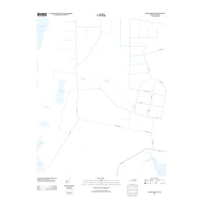
2013 Map of Engelhard NW
USGS Topo · Published 2013About this map
Whipping Creek Lake and Swan Creek Lake sit within a coastal landscape defined by drainage and defense near the Alligator River. In this 2013 survey of northeastern North Carolina, the terrain is segmented by a strictly geometric network of roads and canals, characteristic of the region’s timber and agricultural water management. The presence of Airforce Lead Rd and the large circular clearing associated with Perimeter Rd suggests military or specialized government land use, with interior routes like Strafe Rd and Waters Rd indicating a highly organized, functional layout. To the south and east, the transition to open water is marked by Cumberland Cr and the Long Shoal River, showing the intricate boundary between the drained interior and the brackish sounds of Dare County.
Find a feature on this map
19 named features on this map. Tap any name to fly to it.
Don’t see what you’re looking for? This feature index may not catch every label — zoom into the map to look around manually.
Map Details
Editions of this 2013 Engelhard NW Map
This is the sole edition of this map. No revisions or reprints were ever made.
Other maps of this area
1943 · Columbia
USGS Topo · 1:125,000
1943 · Roanoke Island
USGS Topo · 1:125,000
1951 · Engelhard West
USGS Topo · 1:24,000
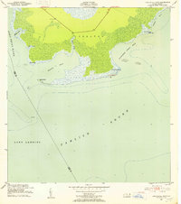
1951 · Long Shoal Point
USGS Topo · 1:24,000
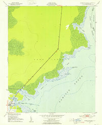
1951 · Engelhard East
USGS Topo · 1:24,000
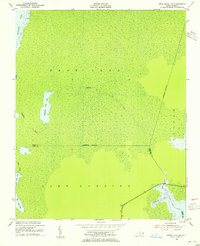
1953 · Engelhard NW
USGS Topo · 1:24,000
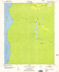
1953 · Buffalo City
USGS Topo · 1:24,000
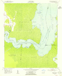
1953 · Fairfield NE
USGS Topo · 1:24,000
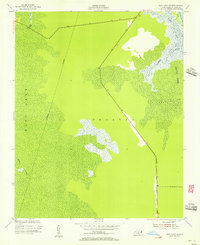
1953 · East Lake SE
USGS Topo · 1:24,000
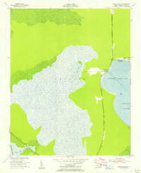
1953 · Engelhard NE
USGS Topo · 1:24,000