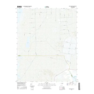
2016 Map of Engelhard NW
USGS Topo · Published 2016About this map
Whipping Cr Lake and Swan Cr Lake sit within a coastal landscape defined by extensive wetlands and tidal systems on the border of Dare Co and Hyde Co. This 2016 survey illustrates a strictly managed grid of access roads and drainage routes, with infrastructure like Navy Lead Rd and Airforce Lead Rd suggesting a history of military or government utility in the area. The hydrology is dominated by the winding course of Whipping Cr and Whipping Creek, which flow toward the eastern shoreline. The map reveals the intricate network of named tracks such as Dry Ridge Rd, Nichols Rd, and Waterfield Rd that provide passage through the dense marshland. While the proximity to the Atlantic Ocean is clear at the southeastern margin, the interior remains a remote environment of canals and creeks, including Cumberland Creek and Swan Cr.
Find a feature on this map
42 named features on this map. Tap any name to fly to it.
Don’t see what you’re looking for? This feature index may not catch every label — zoom into the map to look around manually.
Map Details
Editions of this 2016 Engelhard NW Map
This is the sole edition of this map. No revisions or reprints were ever made.
Other maps of this area
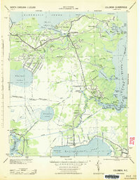
1943 · Columbia
USGS Topo · 1:125,000
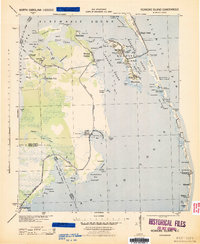
1943 · Roanoke Island
USGS Topo · 1:125,000
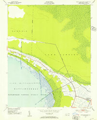
1951 · Engelhard West
USGS Topo · 1:24,000
1951 · Long Shoal Point
USGS Topo · 1:24,000
1951 · Engelhard East
USGS Topo · 1:24,000
1953 · Engelhard NW
USGS Topo · 1:24,000
1953 · Buffalo City
USGS Topo · 1:24,000
1953 · Fairfield NE
USGS Topo · 1:24,000
1953 · East Lake SE
USGS Topo · 1:24,000
1953 · Engelhard NE
USGS Topo · 1:24,000