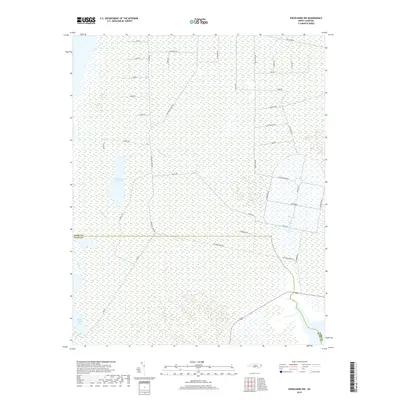
2019 Map of Engelhard NW
USGS Topo · Published 2019About this map
The Dare Co and Hyde Co border bisects a landscape defined by expansive wetlands and specialized road networks. This coastal wilderness is characterized by large, shallow water bodies such as Whipping Creek Lake and Swan Creek Lake, which drain through systems like Whipping Cr and Swan Cr. The human imprint on this terrain is primarily visible through a grid-like series of access roads, several of which suggest historical or ongoing government and military activity, including Navy Lead Rd, Airforce Lead Rd, and a circular Perimeter Rd surrounding a central hub. These specialized routes, alongside names like Whipping Creek Rd and Beechland Rd, reflect a region managed for specific land uses where traditional town settlements are absent in favor of resource management and coastal infrastructure.
Find a feature on this map
39 named features on this map. Tap any name to fly to it.
Don’t see what you’re looking for? This feature index may not catch every label — zoom into the map to look around manually.
Map Details
Editions of this 2019 Engelhard NW Map
This is the sole edition of this map. No revisions or reprints were ever made.
Other maps of this area
1943 · Columbia
USGS Topo · 1:125,000
1943 · Roanoke Island
USGS Topo · 1:125,000
1951 · Engelhard West
USGS Topo · 1:24,000
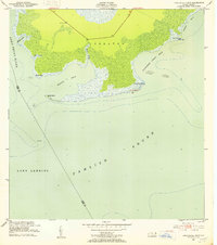
1951 · Long Shoal Point
USGS Topo · 1:24,000
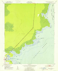
1951 · Engelhard East
USGS Topo · 1:24,000
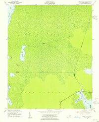
1953 · Engelhard NW
USGS Topo · 1:24,000
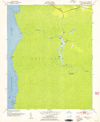
1953 · Buffalo City
USGS Topo · 1:24,000
1953 · Fairfield NE
USGS Topo · 1:24,000
1953 · East Lake SE
USGS Topo · 1:24,000
1953 · Engelhard NE
USGS Topo · 1:24,000