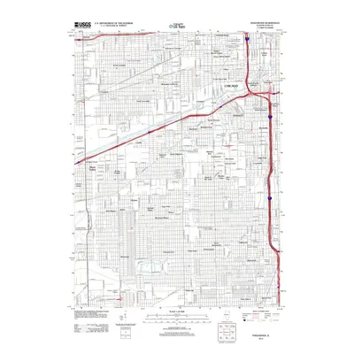
2012 Map of Englewood
USGS Topo · Published 2012About this map
Chicago's industrial and residential density is on full display here, stretching from the dense neighborhoods of the Lower West Side and Pilsen down through the historic stockyards and manufacturing hubs. The landscape is dominated by the massive rail infrastructure of Corwith Yards and Landers Yards, which supported the city’s role as a global logistics hub. Long-standing neighborhood identities are preserved in labels like Bohemian California, Chinatown, and Conleys Patch, reflecting the ethnic enclaves that built the city's character.
Find a feature on this map
73 named features on this map. Tap any name to fly to it.
Don’t see what you’re looking for? This feature index may not catch every label — zoom into the map to look around manually.
Map Details
Editions of this 2012 Englewood Map
This is the sole edition of this map. No revisions or reprints were ever made.
Other maps of this area

1889 · Chicago
USGS Topo · 1:62,500

1890 · Des Plaines
USGS Topo · 1:62,500

1891 · Chicago
USGS Topo · 1:62,500

1891 · Riverside
USGS Topo · 1:62,500

1892 · Calumet
USGS Topo · 1:62,500

1893 · Calumet
USGS Topo · 1:62,500

1893 · Riverside
USGS Topo · 1:62,500

1894 · Des Plaines
USGS Topo · 1:62,500

1900 · Chicago
USGS Topo · 1:62,500

1900 · Des Plaines
USGS Topo · 1:62,500