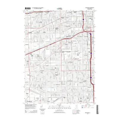
2015 Map of Englewood
USGS Topo · Published 2015About this map
Bohemian California and Conleys Patch highlight the dense mosaic of neighborhoods that comprise the South and West Sides of Chicago in this mid-2010s survey. The map details the historical industrial and residential corridors along the South Branch Chicago River, where legacy district names like Pilsen, Bridgeport, and Bronzeville intersect with the modern educational campus of City Colleges of Chicago-Kennedy-King Coll. Further north, Film Row and the Claremont Cottages point to specific urban legacies of commerce and specialized housing. The grid is punctuated by historic squares and enclaves, such as Garibaldi Square and Armour Square, illustrating the persistence of early twentieth-century urban planning within the modern metropolitan landscape.
Find a feature on this map
188 named features on this map. Tap any name to fly to it.
Don’t see what you’re looking for? This feature index may not catch every label — zoom into the map to look around manually.
Map Details
Editions of this 2015 Englewood Map
This is the sole edition of this map. No revisions or reprints were ever made.
Other maps of this area

1889 · Chicago
USGS Topo · 1:62,500

1890 · Des Plaines
USGS Topo · 1:62,500

1891 · Chicago
USGS Topo · 1:62,500

1891 · Riverside
USGS Topo · 1:62,500

1892 · Calumet
USGS Topo · 1:62,500

1893 · Calumet
USGS Topo · 1:62,500

1893 · Riverside
USGS Topo · 1:62,500

1894 · Des Plaines
USGS Topo · 1:62,500

1900 · Chicago
USGS Topo · 1:62,500

1900 · Des Plaines
USGS Topo · 1:62,500