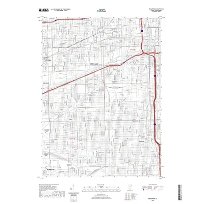
2018 Map of Englewood
USGS Topo · Published 2018About this map
The dense urban grid of Chicago dominates this modern survey, highlighting the complex infrastructure of neighborhoods like Englewood and Elsdon. Industrial and maritime corridors are defined by the South Branch Chicago River and the Cortez Basin, which anchor the city's southwest side. The map documents a major educational and institutional hub, featuring prominent campuses such as the Univ of Illinois at Chicago, Rush Univ, and the Illinois Institute of Technology.
Find a feature on this map
243 named features on this map. Tap any name to fly to it.
Don’t see what you’re looking for? This feature index may not catch every label — zoom into the map to look around manually.
Map Details
Editions of this 2018 Englewood Map
This is the sole edition of this map. No revisions or reprints were ever made.
Other maps of this area

1889 · Chicago
USGS Topo · 1:62,500

1890 · Des Plaines
USGS Topo · 1:62,500

1891 · Chicago
USGS Topo · 1:62,500

1891 · Riverside
USGS Topo · 1:62,500

1892 · Calumet
USGS Topo · 1:62,500

1893 · Calumet
USGS Topo · 1:62,500

1893 · Riverside
USGS Topo · 1:62,500

1894 · Des Plaines
USGS Topo · 1:62,500

1900 · Chicago
USGS Topo · 1:62,500

1900 · Des Plaines
USGS Topo · 1:62,500