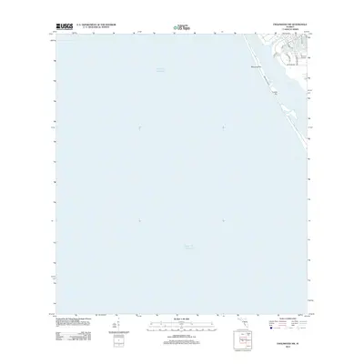
2012 Map of Englewood NW
USGS Topo · Published 2012About this map
Manasota Key forms a slender barrier between the open Gulf of Mexico and the protected waters of Lemon Bay along this stretch of the Florida Gulf Coast. The map details a landscape defined by coastal development and navigation, where Manasota Key Rd runs the length of the barrier island, providing access to secluded shorelines and the small landform of Leachs Key. On the mainland side, a network of residential roads including Bayshore Dr and Gladstone Blvd surrounds Buchan Airport, highlighting the region's aviation infrastructure and its proximity to the tidal reach of Forked Cr. This 2012 survey captures the modern shoreline and residential footprint before further environmental changes or coastal expansion, serving as a reliable reference for property boundaries and maritime geography.
Find a feature on this map
14 named features on this map. Tap any name to fly to it.
Don’t see what you’re looking for? This feature index may not catch every label — zoom into the map to look around manually.
Map Details
Editions of this 2012 Englewood NW Map
This is the sole edition of this map. No revisions or reprints were ever made.
Other maps of this area

1944 · Myakka River
USGS Topo · 1:31,680

1944 · Venice
USGS Topo · 1:31,680

1956 · Englewood
USGS Topo · 1:24,000

1956 · Tampa
USGS Topo · 1:250,000

1956 · Charlotte Harbor
USGS Topo · 1:250,000

1957 · Englewood NW
USGS Topo · 1:24,000

1957 · Placida
USGS Topo · 1:24,000

1959 · Tampa
USGS Topo · 1:250,000

1960 · Tampa
USGS Topo · 1:250,000

1972 · Tampa
USGS Topo · 1:250,000