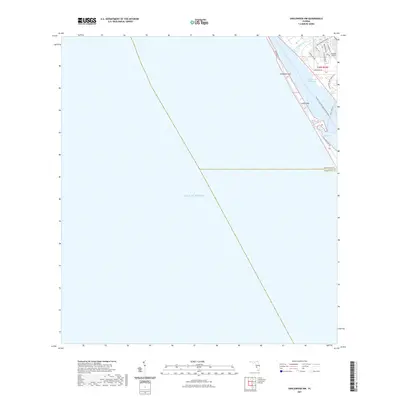
2021 Map of Englewood NW
USGS Topo · Published 2021About this map
Manasota Key and the barrier islands of the Florida Gulf Coast dominate this modern survey, marking the transition from the open waters of the Gulf of Mexico to the protected passages of the Intracoastal Waterway. The coastal geography is defined by narrow landforms like Leachs Key and the winding reaches of Lemon Bay. On the mainland, the residential development of the Englewood area is visible through a network of local roads including Englewood Isles Pkwy and Gladstone Blvd, situated near Forked Creek. This 2021 update documents the intersection of modern transportation and recreation, showing Buchan Airport alongside established coastal corridors and recreational paths like the Florida Circumnavigational Paddling Trl and the Lemon Bay Park Nature Trl.
Find a feature on this map
21 named features on this map. Tap any name to fly to it.
Don’t see what you’re looking for? This feature index may not catch every label — zoom into the map to look around manually.
Map Details
Editions of this 2021 Englewood NW Map
This is the sole edition of this map. No revisions or reprints were ever made.
Other maps of this area

1944 · Myakka River
USGS Topo · 1:31,680

1944 · Venice
USGS Topo · 1:31,680

1956 · Englewood
USGS Topo · 1:24,000

1956 · Tampa
USGS Topo · 1:250,000

1956 · Charlotte Harbor
USGS Topo · 1:250,000

1957 · Englewood NW
USGS Topo · 1:24,000

1957 · Placida
USGS Topo · 1:24,000

1959 · Tampa
USGS Topo · 1:250,000

1960 · Tampa
USGS Topo · 1:250,000

1972 · Tampa
USGS Topo · 1:250,000