
2024 Map of Englewood NW
USGS Topo · Published 2024About this map
Englewood and the narrow barrier islands of the Gulf Coast define this contemporary survey of the Florida shoreline. The map centers on the complex transition between the open Gulf of Mexico and the sheltered waters of Lemon Bay, where the Intracoastal Waterway facilitates coastal navigation. This modern view reveals the high density of residential infrastructure in the northern reaches of the settlement, with a grid of local thoroughfares such as Gladstone Blvd and Larchmont Dr extending toward the coast.
Find a feature on this map
22 named features on this map. Tap any name to fly to it.
Don’t see what you’re looking for? This feature index may not catch every label — zoom into the map to look around manually.
Map Details
Editions of this 2024 Englewood NW Map
This is the sole edition of this map. No revisions or reprints were ever made.
Other maps of this area
1944 · Myakka River
USGS Topo · 1:31,680
1944 · Venice
USGS Topo · 1:31,680
1956 · Englewood
USGS Topo · 1:24,000
1956 · Tampa
USGS Topo · 1:250,000
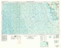
1956 · Charlotte Harbor
USGS Topo · 1:250,000
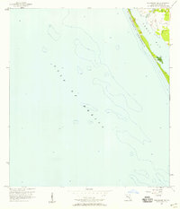
1957 · Englewood NW
USGS Topo · 1:24,000
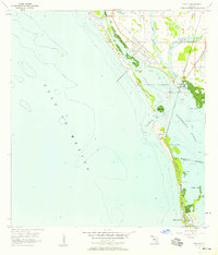
1957 · Placida
USGS Topo · 1:24,000
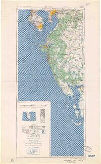
1959 · Tampa
USGS Topo · 1:250,000
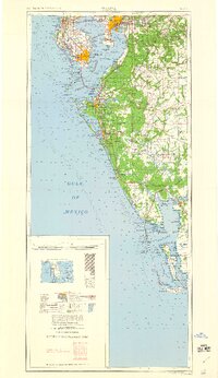
1960 · Tampa
USGS Topo · 1:250,000
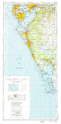
1972 · Tampa
USGS Topo · 1:250,000