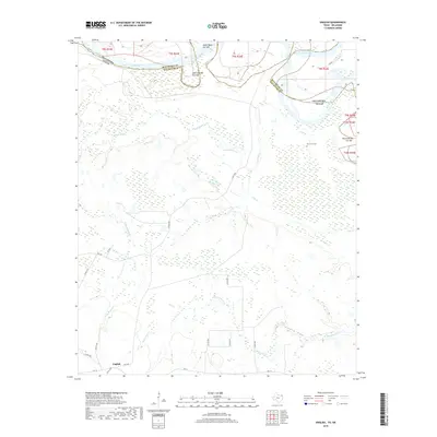
2019 Map of English
USGS Topo · Published 2019About this map
The Red River defines the northern landscape of this Texas-Oklahoma borderland, where its meandering course has left behind a complex series of oxbows and river scars. Distinctive hydrological features like the Eagle Bend Cut-Off, Dick Johnson Cut-Off, and Harris Bend Cut Off illustrate the shifting nature of the river channel over time. South of these bends, the small settlement of English sits near the intersection of FM 1699 and FM 114, serving as a central point for the surrounding rural roads.
Find a feature on this map
27 named features on this map. Tap any name to fly to it.
Don’t see what you’re looking for? This feature index may not catch every label — zoom into the map to look around manually.
Map Details
Editions of this 2019 English Map
This is the sole edition of this map. No revisions or reprints were ever made.
Other maps of this area

1950 · Acworth
USGS Topo · 1:24,000

1950 · De Kalb NW
USGS Topo · 1:24,000

1950 · White Rock
USGS Topo · 1:24,000

1950 · Haworth
USGS Topo · 1:24,000

1950 · Oak Grove
USGS Topo · 1:24,000

1950 · Annona
USGS Topo · 1:24,000

1951 · Idabel SE
USGS Topo · 1:24,000

1951 · English
USGS Topo · 1:24,000

1951 · Annona
USGS Topo · 1:24,000

1951 · White Rock
USGS Topo · 1:24,000