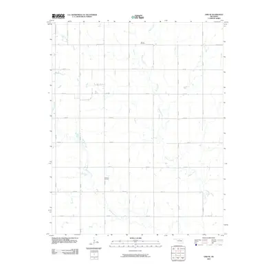
2009 Map of Enid SE
USGS Topo · Published 2009About this map
Skeleton Creek and Hackberry Creek carve winding paths through this section of the Oklahoma prairie, defining the drainage patterns of the rural landscape southeast of Enid. The map reveals a strict section-line road grid, where routes like E Southgate Rd and E0500 Rd intersect with north-south corridors such as S 30th St and S 42nd St. This geometric organization reflects the enduring impact of the original land surveys on the region's development. Local history is anchored by two established burial grounds: Bethany Cemetery in the north and Hackberry Cemetery near the center of the quadrangle. While the northwestern corner shows the suburban reach of the city along Leona Mitchell Blvd, the majority of the area remains dominated by open fields and the natural riparian corridors of the local creeks.
Find a feature on this map
24 named features on this map. Tap any name to fly to it.
Don’t see what you’re looking for? This feature index may not catch every label — zoom into the map to look around manually.
Map Details
Editions of this 2009 Enid SE Map
This is the sole edition of this map. No revisions or reprints were ever made.
Other maps of this area

1893 · Lovell
USGS Topo · 1:62,500

1893 · Hennessey
USGS Topo · 1:62,500

1955 · Enid West
USGS Topo · 1:24,000

1955 · Enid East
USGS Topo · 1:24,000

1955 · Enid
USGS Topo · 1:250,000

1956 · Garber
USGS Topo · 1:62,500

1956 · Hennessey
USGS Topo · 1:62,500

1956 · Enid
USGS Topo · 1:62,500

1958 · Enid
USGS Topo · 1:250,000

1974 · Marshall West
USGS Topo · 1:24,000