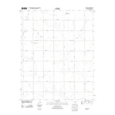
2012 Map of Enid SE
USGS Topo · Published 2012About this map
Skeleton Cr and Hackberry Cr carve a meandering drainage network across this Garfield County landscape, defining the rural character of the region southeast of the city. The area is anchored by the Enid Woodring Regional Airport in the north, while a rigid grid of section line roads like E Wheat Capital Rd and E Longhorn Trl facilitates the transport of local agricultural yields. Genealogists and local historians can locate established burial grounds including Bethany Cem near the airport and Hackberry Cem further south. The map reflects a transition from the developing fringes of the city, noted by Leona Mitchell Blvd, to the traditional farmsteads and open prairies that characterize the Oklahoma plains.
Find a feature on this map
35 named features on this map. Tap any name to fly to it.
Don’t see what you’re looking for? This feature index may not catch every label — zoom into the map to look around manually.
Map Details
Editions of this 2012 Enid SE Map
This is the sole edition of this map. No revisions or reprints were ever made.
Other maps of this area

1893 · Lovell
USGS Topo · 1:62,500

1893 · Hennessey
USGS Topo · 1:62,500

1955 · Enid West
USGS Topo · 1:24,000

1955 · Enid East
USGS Topo · 1:24,000

1955 · Enid
USGS Topo · 1:250,000

1956 · Garber
USGS Topo · 1:62,500

1956 · Hennessey
USGS Topo · 1:62,500

1956 · Enid
USGS Topo · 1:62,500

1958 · Enid
USGS Topo · 1:250,000

1974 · Marshall West
USGS Topo · 1:24,000