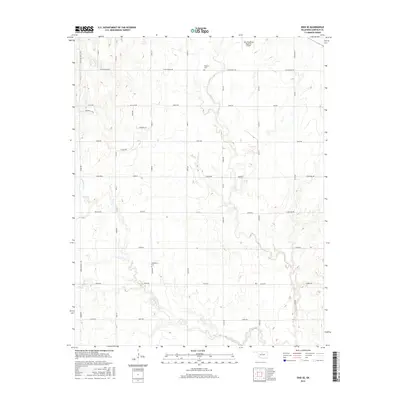
2016 Map of Enid SE
USGS Topo · Published 2016About this map
Skeleton Cr and Hackberry Cr carve a dendritic drainage pattern across this Garfield County landscape, located just southeast of the city center. The 2016 survey illustrates the intersection of Enid's suburban expansion and its deep-rooted agricultural grid. While the northern portion of the map shows modern development near Enid Woodring Regional Airport and thoroughfares like Leona Mitchell Blvd, the southern reaches remain dominated by section-line roads such as E0510 Rd and N2920 Rd. Genealogists will find the locations of Bethany Cem and Hackberry Cem preserved within this rural-urban interface, serving as quiet landmarks amidst the rolling topography and residential enclaves like Paradise Ln and Songbird Lane.
Find a feature on this map
43 named features on this map. Tap any name to fly to it.
Don’t see what you’re looking for? This feature index may not catch every label — zoom into the map to look around manually.
Map Details
Editions of this 2016 Enid SE Map
This is the sole edition of this map. No revisions or reprints were ever made.
Other maps of this area
1893 · Lovell
USGS Topo · 1:62,500
1893 · Hennessey
USGS Topo · 1:62,500
1955 · Enid West
USGS Topo · 1:24,000
1955 · Enid East
USGS Topo · 1:24,000
1955 · Enid
USGS Topo · 1:250,000
1956 · Garber
USGS Topo · 1:62,500
1956 · Hennessey
USGS Topo · 1:62,500
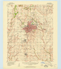
1956 · Enid
USGS Topo · 1:62,500
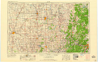
1958 · Enid
USGS Topo · 1:250,000
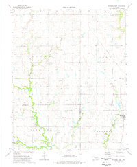
1974 · Marshall West
USGS Topo · 1:24,000