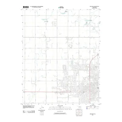
2009 Map of Enid West
USGS Topo · Published 2009About this map
Enid expands westward into the Garfield County prairie in this 2009 USGS survey, where the grid of city streets transitions into a broad network of section-line roads. The landscape is defined by the headwaters and drainage of several local waterways, including Skeleton Creek, Clear Creek, and Boggy Creek. Residential developments such as those along Woodlands Dr and Quailwood Dr show the contemporary suburban growth patterns of the area at this time.
Find a feature on this map
45 named features on this map. Tap any name to fly to it.
Don’t see what you’re looking for? This feature index may not catch every label — zoom into the map to look around manually.
Map Details
Editions of this 2009 Enid West Map
This is the sole edition of this map. No revisions or reprints were ever made.
Other maps of this area

1955 · Enid West
USGS Topo · 1:24,000

1955 · Enid East
USGS Topo · 1:24,000

1955 · Enid
USGS Topo · 1:250,000

1955 · Woodward
USGS Topo · 1:250,000

1956 · Enid
USGS Topo · 1:62,500

1956 · Ringwood
USGS Topo · 1:62,500

1958 · Enid
USGS Topo · 1:250,000

1958 · Woodward
USGS Topo · 1:250,000

1968 · Hillsdale
USGS Topo · 1:24,000

1968 · Kremlin
USGS Topo · 1:24,000