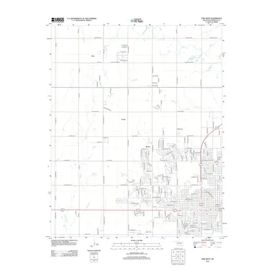
2012 Map of Enid West
USGS Topo · Published 2012About this map
Blanton and the western edges of Enid define this Garfield County landscape as it appeared in the early 21st century. The transition from dense residential grids to the section-line roads of the Oklahoma plains is marked by significant community landmarks, including the Enid Cem and Calvary Catholic Cem near the eastern boundary. Smaller rural settlements such as Ituna and Jonah anchor the northern reaches of the quadrangle, where the terrain is drained by Skeleton Cr and Clear Cr. Local history is embedded in the road names, from the descriptive Old Post Rd and Stagecoach to the curiously named Last Chance. Water features like Hellums Lake and the Meadowlake Reservoir provide focal points within the mixed agricultural and suburban environment.
Find a feature on this map
152 named features on this map. Tap any name to fly to it.
Don’t see what you’re looking for? This feature index may not catch every label — zoom into the map to look around manually.
Map Details
Editions of this 2012 Enid West Map
This is the sole edition of this map. No revisions or reprints were ever made.
Other maps of this area

1955 · Enid West
USGS Topo · 1:24,000

1955 · Enid East
USGS Topo · 1:24,000

1955 · Enid
USGS Topo · 1:250,000

1955 · Woodward
USGS Topo · 1:250,000

1956 · Enid
USGS Topo · 1:62,500

1956 · Ringwood
USGS Topo · 1:62,500

1958 · Enid
USGS Topo · 1:250,000

1958 · Woodward
USGS Topo · 1:250,000

1968 · Hillsdale
USGS Topo · 1:24,000

1968 · Kremlin
USGS Topo · 1:24,000