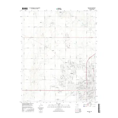
2016 Map of Enid West
USGS Topo · Published 2016About this map
The western periphery of Enid and its outlying rural settlements define this Oklahoma landscape, where the grid of Garfield County roads meets the drainage systems of Skeleton Cr and Sand Cr. Small communities like Ituna, Jonah, and Blanton are distributed across the prairie, connected by a network of thoroughfares that acknowledge the region's cattle-driving history through names like Chisholm Trail Rd and the Old Post Rd. In the north, the terrain becomes more varied with the presence of Ninemile Canyons and the winding course of Wild Horse Cr.
Find a feature on this map
188 named features on this map. Tap any name to fly to it.
Don’t see what you’re looking for? This feature index may not catch every label — zoom into the map to look around manually.
Map Details
Editions of this 2016 Enid West Map
This is the sole edition of this map. No revisions or reprints were ever made.
Other maps of this area

1955 · Enid West
USGS Topo · 1:24,000

1955 · Enid East
USGS Topo · 1:24,000

1955 · Enid
USGS Topo · 1:250,000

1955 · Woodward
USGS Topo · 1:250,000

1956 · Enid
USGS Topo · 1:62,500

1956 · Ringwood
USGS Topo · 1:62,500

1958 · Enid
USGS Topo · 1:250,000

1958 · Woodward
USGS Topo · 1:250,000

1968 · Hillsdale
USGS Topo · 1:24,000

1968 · Kremlin
USGS Topo · 1:24,000