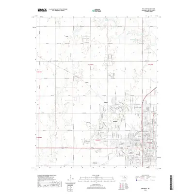
2018 Map of Enid West
USGS Topo · Published 2018About this map
The western expansion of Enid dominates the landscape of this Garfield County survey, revealing a transition from dense residential grids to the outlying agrarian sections of northern Oklahoma. As the city grid pushes westward along thoroughfares like W Chestnut Ave and W Purdue Ave, the map captures established landmarks including the Enid Cem and the Calvary Catholic Cem on the eastern edge. Beyond the urban limits, the terrain is defined by the winding paths of Skeleton Cr and Clear Cr, interspersed with small rural clusters like Blanton, Jonah, and Ituna. This topography illustrates how local water features like Lake Hellums and the surrounding creek drainage systems influenced the development of the township and range system, creating a distinct patchwork of developed neighborhoods and open plains.
Find a feature on this map
28 named features on this map. Tap any name to fly to it.
Don’t see what you’re looking for? This feature index may not catch every label — zoom into the map to look around manually.
Map Details
Editions of this 2018 Enid West Map
This is the sole edition of this map. No revisions or reprints were ever made.
Other maps of this area

1955 · Enid West
USGS Topo · 1:24,000

1955 · Enid East
USGS Topo · 1:24,000

1955 · Enid
USGS Topo · 1:250,000

1955 · Woodward
USGS Topo · 1:250,000

1956 · Enid
USGS Topo · 1:62,500

1956 · Ringwood
USGS Topo · 1:62,500

1958 · Enid
USGS Topo · 1:250,000

1958 · Woodward
USGS Topo · 1:250,000

1968 · Hillsdale
USGS Topo · 1:24,000

1968 · Kremlin
USGS Topo · 1:24,000