2022 Map of Ennis East
USGS Topo · Published 2022About this map
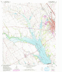
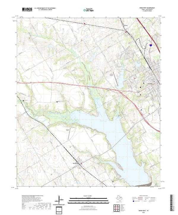
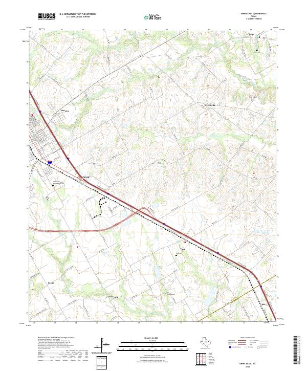
Ennis serves as the primary hub for this portion of Ellis County, where the Interstate 45 corridor slices southeast toward the Navarro County line. The settlement pattern here is defined by long-standing agricultural communities like Telico, Alma, and Creechville that are interconnected by a dense network of farm-to-market roads. For those researching local heritage, the map identifies several significant burial grounds, including the IOOF Oddfellows and Rebekahs Cem on the outskirts of Ennis and the more secluded Redwine Cem near Oak Grove.
Find a feature on this map
105 named features on this map. Tap any name to fly to it.
Don’t see what you’re looking for? This feature index may not catch every label — zoom into the map to look around manually.
Map Details
Editions of this 2022 Ennis East Map
This is the sole edition of this map. No revisions or reprints were ever made.
Historical Maps of Ensign Through Time
10 maps found