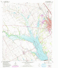
1962 Map of Ennis West
USGS Topo · Published 1993About this map
Bardwell Lake dominates the central landscape of this Ellis County survey, a large reservoir formed by a dam on Waxahachie Creek and fed by the winding Mustang Creek. To the northeast, the city of Ennis shows significant expansion, with a 1970s purple photorevised tint highlighting growing residential and industrial footprints along the Southern Pacific railroad line. The map captures a transitional period for the region, balancing the established agricultural character of the small community of Bardwell with the modern infrastructure of the Ennis Municipal Airport and recreational spaces like Lakeside Country Club. Genealogists will find particular value in the documentation of local burial grounds, including St Joseph Cem, Myrtle Cemetery, and the more rural Templeton Cem near Bethel Ch.
Find a feature on this map
32 named features on this map. Tap any name to fly to it.
Don’t see what you’re looking for? This feature index may not catch every label — zoom into the map to look around manually.
Map Details
Editions of this 1962 Ennis West Map
3 editions found
Other maps of this area

1954 · Dallas
USGS Topo · 1:250,000

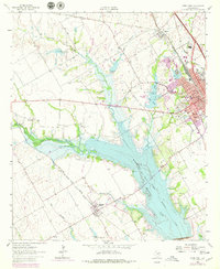
1956 · Ennis
USGS Topo · 1:62,500

1958 · Dallas
USGS Topo · 1:250,000

1961 · Forreston
USGS Topo · 1:24,000
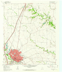
1961 · Waxahachie
USGS Topo · 1:24,000

1962 · Emhouse
USGS Topo · 1:24,000

1962 · Ennis West
USGS Topo · 1:24,000

1962 · Ennis East
USGS Topo · 1:24,000

1962 · Cryer Creek
USGS Topo · 1:24,000
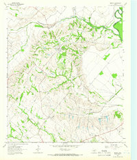
1962 · Bristol
USGS Topo · 1:24,000