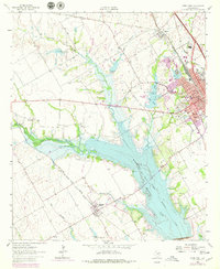
1962 Map of Ennis West
USGS Topo · Published 1978About this map
Ennis serves as the focal point of this Ellis County landscape, situated at a major crossroads of rail and water. The town is flanked by a trio of burial grounds, including Myrtle Cemetery, St Joseph Cem, and Templeton Cem, which offer significant genealogical reference points. To the west, the expansive Bardwell Lake dominates the terrain, created by the Bardwell Dam across Waxahachie Creek. This reservoir represents a significant mid-century alteration to the natural drainage, inundating the confluence of local waterways.
Find a feature on this map
28 named features on this map. Tap any name to fly to it.
Don’t see what you’re looking for? This feature index may not catch every label — zoom into the map to look around manually.
Map Details
Editions of this 1962 Ennis West Map
3 editions found
Other maps of this area

1954 · Dallas
USGS Topo · 1:250,000

1956 · Ennis
USGS Topo · 1:62,500

1958 · Dallas
USGS Topo · 1:250,000

1961 · Forreston
USGS Topo · 1:24,000
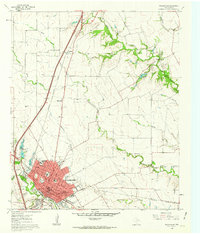
1961 · Waxahachie
USGS Topo · 1:24,000

1962 · Emhouse
USGS Topo · 1:24,000

1962 · Ennis West
USGS Topo · 1:24,000

1962 · Ennis East
USGS Topo · 1:24,000

1962 · Cryer Creek
USGS Topo · 1:24,000
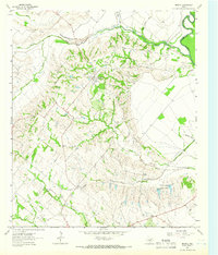
1962 · Bristol
USGS Topo · 1:24,000