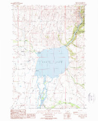
1988 Map of Ennis Lake
USGS Topo · Published 1989About this map
Ennis Lake sits at the heart of this landscape, its western shores marked by the small settlement of McAllister and its eastern banks rising toward the Lee Metcalf Wilderness. The Madison River feeds the lake from the south, branching into the complex Fletcher Channel Madison River through low-lying wetlands before being funneled into the narrow, steep-walled Bear Trap Canyon to the north. This 1980s landscape reflects a mix of recreation and resource management, evidenced by the Meadow Lake Recreation Site and the Ennis Lake Recreation Site, alongside irrigation infrastructure like the West Madison Canal and Moore Ditch. Local history is captured in family-named landmarks such as Jourdain Creek and Jack Creek, while a Cem and Mine Shaft provide specific points of interest for genealogists and researchers tracking early land use in Madison County.
Find a feature on this map
30 named features on this map. Tap any name to fly to it.
Don’t see what you’re looking for? This feature index may not catch every label — zoom into the map to look around manually.
Map Details
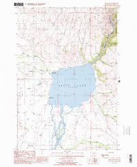
Editions of this 1988 Ennis Lake Map
2 editions found
Other maps of this area

1888 · Three Forks
USGS Topo · 1:250,000

1894 · Three Forks
USGS Topo · 1:250,000

1895 · Three Forks
USGS Topo · 1:250,000

1947 · Bozeman
USGS Topo · 1:250,000

1948 · Bozeman
USGS Topo · 1:250,000

1949 · Ennis
USGS Topo · 1:62,500

1949 · Norris
USGS Topo · 1:62,500

1950 · Harrison
USGS Topo · 1:62,500

1950 · Virginia City
USGS Topo · 1:62,500

1951 · Norris
USGS Topo · 1:62,500