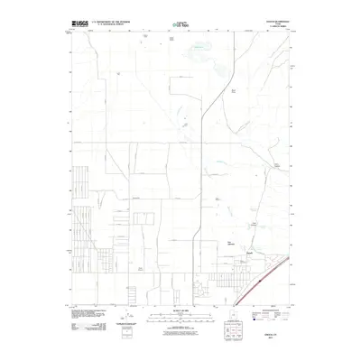
2011 Map of Enoch
USGS Topo · Published 2011About this map
Cedar Valley defines the landscape of this 2011 survey, where the expanding settlement of Enoch meets long-established agricultural holdings. The map documents a transition from traditional land use to modern residential development, most visible in the grid of streets pushing westward toward Stevensville. Historically significant sites like Fort Johnson and the Enoch Cemetery sit near the base of the eastern highlands, while family legacies are preserved in the naming of the Adams Ranch, Leigh Farm, and Clark Ranch. The hydrology of the area is anchored by Rush Lake in the north and the seasonal flows of Johnson Creek and Braffits Creek. Aviation history is noted by the presence of the Clark Airport, located on the valley floor. Researchers can trace the path of numerous springs, including Clarks Spring, Bell Spring, and Jones Spring, which have likely sustained these desert ranchlands for generations.
Find a feature on this map
64 named features on this map. Tap any name to fly to it.
Don’t see what you’re looking for? This feature index may not catch every label — zoom into the map to look around manually.
Map Details
Editions of this 2011 Enoch Map
This is the sole edition of this map. No revisions or reprints were ever made.
Other maps of this area
1885 · St. George
USGS Topo · 1:250,000
1886 · Kanab
USGS Topo · 1:250,000
1891 · St. George
USGS Topo · 1:250,000
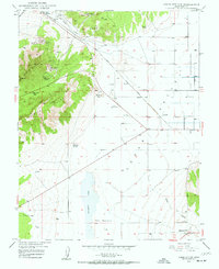
1949 · Cedar City NW
USGS Topo · 1:24,000
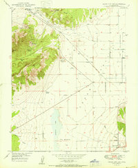
1950 · Cedar City NW
USGS Topo · 1:24,000
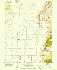
1950 · Enoch
USGS Topo · 1:24,000
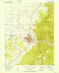
1950 · Cedar City
USGS Topo · 1:24,000
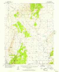
1950 · Enoch
USGS Topo · 1:62,500
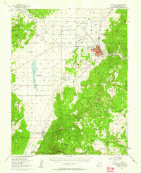
1950 · Cedar City
USGS Topo · 1:62,500
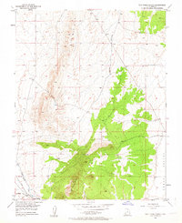
1950 · The Three Peaks
USGS Topo · 1:24,000