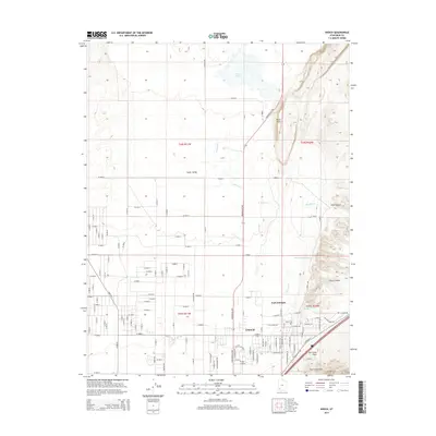
2014 Map of Enoch
USGS Topo · Published 2014About this map
Enoch anchors the southern portion of this Iron County landscape, positioned where the flat expanse of Cedar Valley meets the dramatic rising topography of the Hurricane Cliffs. The map illustrates a structured grid of residential development and agricultural plots, particularly around the historic site of Fort Johnson. Geologically, the area is defined by the Hurricane Fault, which runs along the base of the cliffs, creating a sharp boundary between the valley floor and the elevated terrain of the east.
Find a feature on this map
64 named features on this map. Tap any name to fly to it.
Don’t see what you’re looking for? This feature index may not catch every label — zoom into the map to look around manually.
Map Details
Editions of this 2014 Enoch Map
This is the sole edition of this map. No revisions or reprints were ever made.
Other maps of this area

1885 · St. George
USGS Topo · 1:250,000

1886 · Kanab
USGS Topo · 1:250,000

1891 · St. George
USGS Topo · 1:250,000

1949 · Cedar City NW
USGS Topo · 1:24,000

1950 · Cedar City NW
USGS Topo · 1:24,000

1950 · Enoch
USGS Topo · 1:24,000

1950 · Cedar City
USGS Topo · 1:24,000

1950 · Enoch
USGS Topo · 1:62,500

1950 · Cedar City
USGS Topo · 1:62,500

1950 · The Three Peaks
USGS Topo · 1:24,000