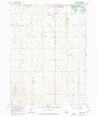
1963 Map of Enola
USGS Topo · Published 1977About this map
The Union Pacific line runs north-to-south through the center of this Madison County landscape, linking the small communities of Warnerville and Enola. This survey captures the agricultural and transportation networks of the mid-20th century, where the northern border is defined by the winding course of the Elkhorn River and the expansive Karl Stefan Airport (Norfolk Municipal). The rural infrastructure is exceptionally detailed, featuring the Pleasant Valley Community Hall and several country schools like Stange Sch and Reiche Sch that once served the surrounding farmsteads.
Find a feature on this map
23 named features on this map. Tap any name to fly to it.
Don’t see what you’re looking for? This feature index may not catch every label — zoom into the map to look around manually.
Map Details
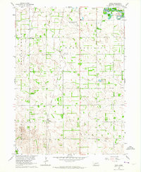
Editions of this 1963 Enola Map
2 editions found
Other maps of this area

1955 · Sioux City
USGS Topo · 1:250,000

1955 · Fremont
USGS Topo · 1:250,000

1957 · Fremont
USGS Topo · 1:250,000

1958 · Sioux City
USGS Topo · 1:250,000

1958 · Fremont
USGS Topo · 1:250,000

1959 · Sioux City
USGS Topo · 1:250,000

1963 · Madison
USGS Topo · 1:24,000

1963 · Hoskins
USGS Topo · 1:24,000

1963 · Madison SE
USGS Topo · 1:24,000

1963 · Battle Creek
USGS Topo · 1:24,000